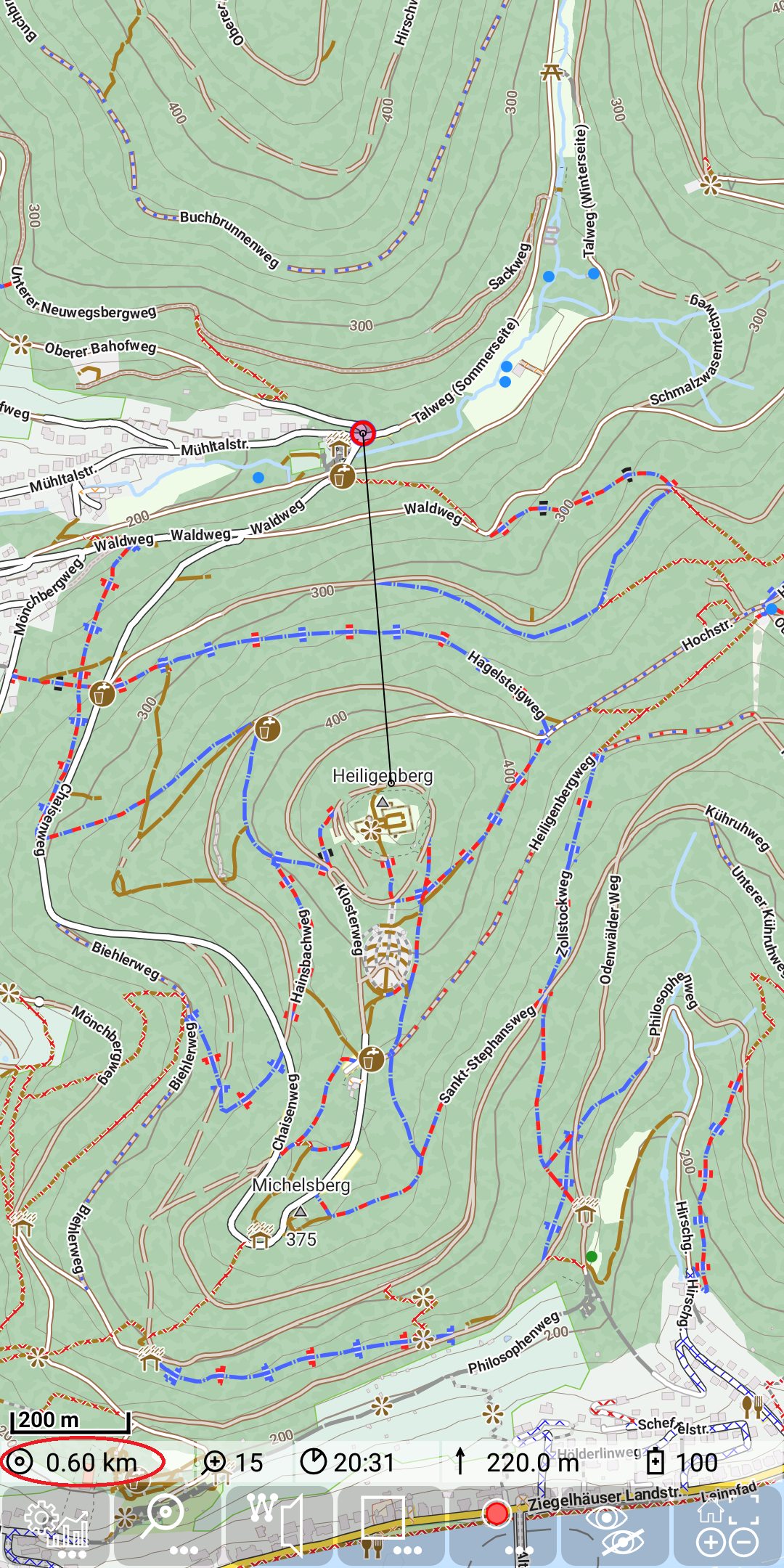
Further Features: beeline distance
If you have switched on GPS directly or via track recording, then you can determine the beeline distance (direct air distance) from your position to a point of interest.
Just move the center of the map (marked with a small black circle) to this point of interest. There will be a thin line between your position an the center position. The air distance will be shown in the status line.